

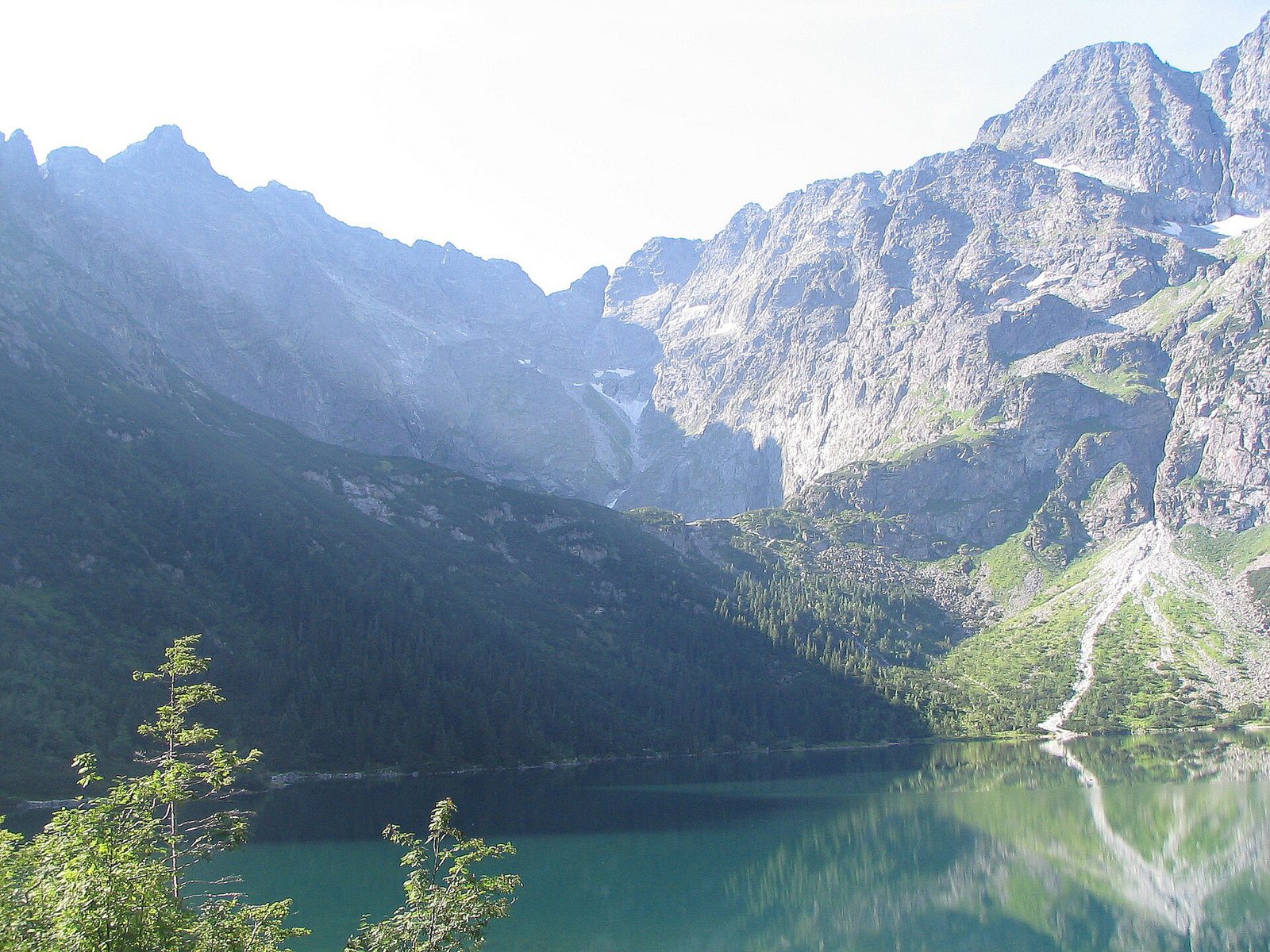
Tatra Mountains · 2499 m · Poland’s highest peak
Rysy hike – how to climb Poland’s highest mountain
Rysy (2499 m) is the highest peak in Poland and one of the most popular – and demanding – hikes in the Tatras. Here is the route from Morskie Oko, walking times, difficulty, the best season, the Slovak alternative and how to do it safely with a private English-speaking guide.
- Height: 2499 m on the Polish summit (the Slovak top is 2503 m) [4].
- Time: Palenica Białczańska → Morskie Oko 2:20 h, Morskie Oko → Czarny Staw → Rysy 4:10 h. In total about 6:30 h up and 10–12 h for the whole day [1].
- Difficulty: the upper part follows a steep gully with chains and exposure. It is not suitable for people with a strong fear of heights.
- Season: July to September. From October to June the upper gully holds snow and ice and it becomes a winter mountaineering route.
- Tickets: TPN entrance 11 zł and Palenica parking booked online [2].
The route from Morskie Oko
| Section | Time (up) | Notes |
|---|---|---|
| Palenica Białczańska – Morskie Oko | 2:20 h | asphalt road, 9 km |
| Morskie Oko – Czarny Staw pod Rysami | 0:50 h | steep stone steps |
| Czarny Staw – Bula pod Rysami | approx. 1:30 h | rocky path, steeper and steeper |
| Bula – Rysy summit | approx. 1:50 h | chains, gully, exposure |
| Total from Palenica | ≈ 6:30 h | plus 4–5 h down |
Descend the same way. Most accidents on Rysy happen on the way down, when people are tired and the rock is wet or icy. Start early (before 6:00 in summer) to be off the summit before afternoon thunderstorms.
Rysy from the Slovak side
From Štrbské Pleso/Popradské pleso a trail leads past Chata pod Rysmi, the highest mountain hut in the Tatras, to the summit. It is technically easier (with a few chains and ladders) but longer. Note: in Slovakia high-mountain trails are closed from 1 November to 31 May [3], and mountain rescue is paid, so get insurance.
Rysy with a private English-speaking guide
We plan the day around the weather, start before dawn, take care of the parking reservation and guide you safely through the chained section and back. Private tour: 1600 zł per group of up to 4 people. Book online (enter your date in the order notes), or join a scheduled group hike. More: private tours in English.


FAQ
How long does it take to climb Rysy?
About 6 hours 30 minutes up from the Palenica Białczańska car park (2:20 h to Morskie Oko and 4:10 h from there to the summit) and 4–5 hours down. Plan 10–12 hours for the whole day.
Is Rysy dangerous?
Rysy is a demanding hike with chains, steep rock and exposure in the upper part. It is safe in good summer conditions for fit, experienced hikers without a strong fear of heights. In wet, icy or stormy weather it is dangerous.
When is the best time to climb Rysy?
From July to September. Outside this period snow and ice usually cover the upper gully and the climb becomes a winter mountaineering route.
Can I climb Rysy with a guide in English?
Yes. We guide private Rysy hikes in English for groups of up to 4 people (1600 zł per group) and scheduled group hikes with a price per person.
Sources
- Klub Podróżników Śródziemie: Tatra trail times by TPN signposts. link
- Radio Kraków (23.10.2026): TPN entrance ticket 11 zł, reduced 5.50 zł. link
- TPN winter closures and TANAP seasonal closure (1 Nov – 31 May) – summary. link
- Wikipedia: “Rysy” – 2499 m (Polish summit), 2503 m (Slovak summit), the highest peak of Poland. link
Updated 3 November 2026. Polish version: Rysy z przewodnikiem.